
REALTY CAPTURE & DIGITAL TWINS
Reality capture, matched to the decision you're making.
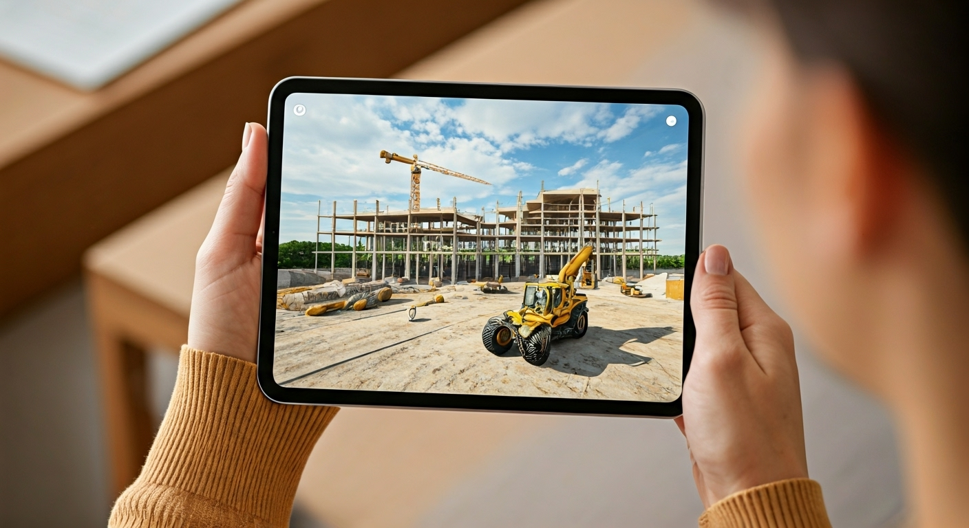
Reality capture turns a physical space into a measurable digital one — a record your whole team can walk, measure, and share by link. We're not a camera crew with one tool. We scope what the documentation needs to do, then match the method: Matterport digital twins, terrestrial LiDAR through our scanning partners, or a combination.
What a Digital Twin Does For a Project
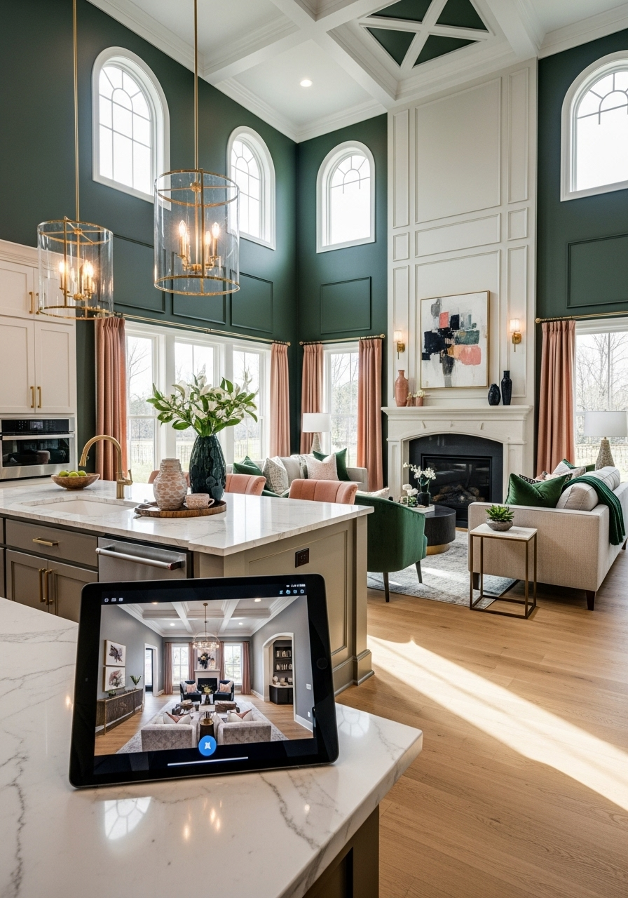
A navigable 3D model of the real space, accurate enough to measure and simple enough to share with a link. Teams use it to cut site revisits, verify conditions without driving, settle disputes from a record instead of memory, and coordinate trades, consultants, and owners around one visual source of truth.
“Lorem ipsum dolor sit amet,. Donec laoreet tincidunt sollicitudin nostra,. Proin sagittis turpis semper purus. Phasellus ut consectetur mauris risus. Donec vel ligula eu erat. Sed dui lectus, varius eget. Nam sed magna urna laoreet. Praesent eget eleifend libero erat. Duis volutpat, dolor nec scelerisque. Phasellus in nisi diam mauris.. Donec mattis erat ac lorem. Vestibulum auctor augue ut enim. Curabitur ornare eleifend lectus, eget. Maecenas sodales, dui nec condimentum. Nam purus sapien, elementum nec.Suspendisse ullamcorper egestas molestie neque.. Mauris luctus ligula id nibh. Cras erat neque, dignissim in. In sapien nibh, tincidunt non. Sed sed mauris nibh condimentum. Proin dui nibh, facilisis sed. Aliquam leo nulla, adipiscing sed. Proin scelerisque lectus rhoncus erat. Pellentesque aliquet ante sed nunc."
-CLIENT NAME, Title, Company Name
The Methods Stated Plainly
01
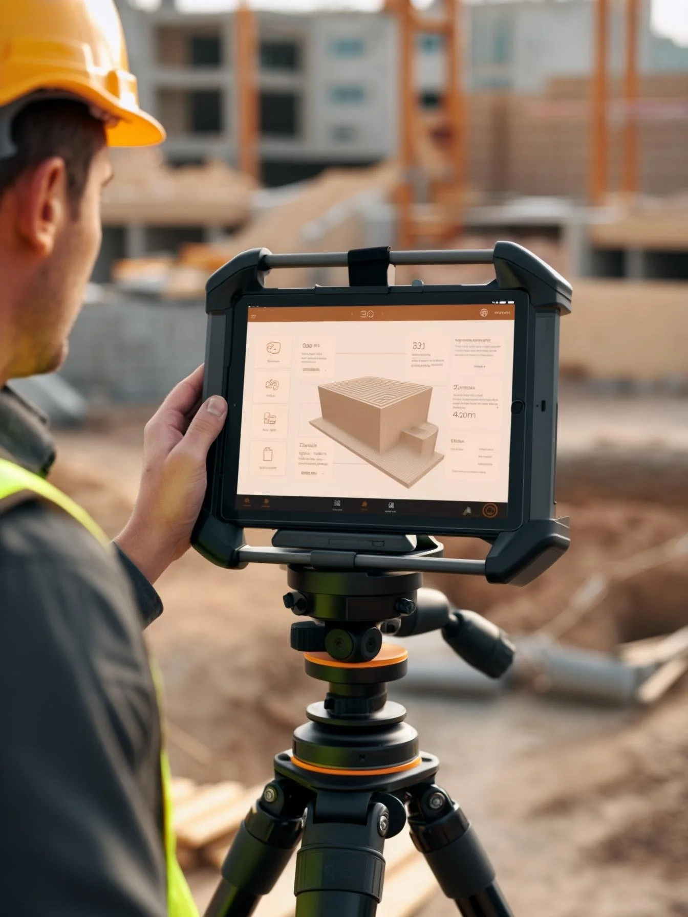
Matterport
LiDAR Capture
Interiors and occupied spaces, documentation-grade accuracy, digital twins typically live within 24–48 hours of capture. Our core instrument, and the right one for most documentation decisions.
02
Terrestrial Laser Scanning
When the project needs survey-grade tolerances, we bring in our scanning partners and tell you so up front. The capture method is matched to the required tolerance and downstream use.
03
Scan-to-BIM
Point clouds become Revit models and CAD as-builts through our engineering partners.
Deliverables:
Navigable Digital Twin
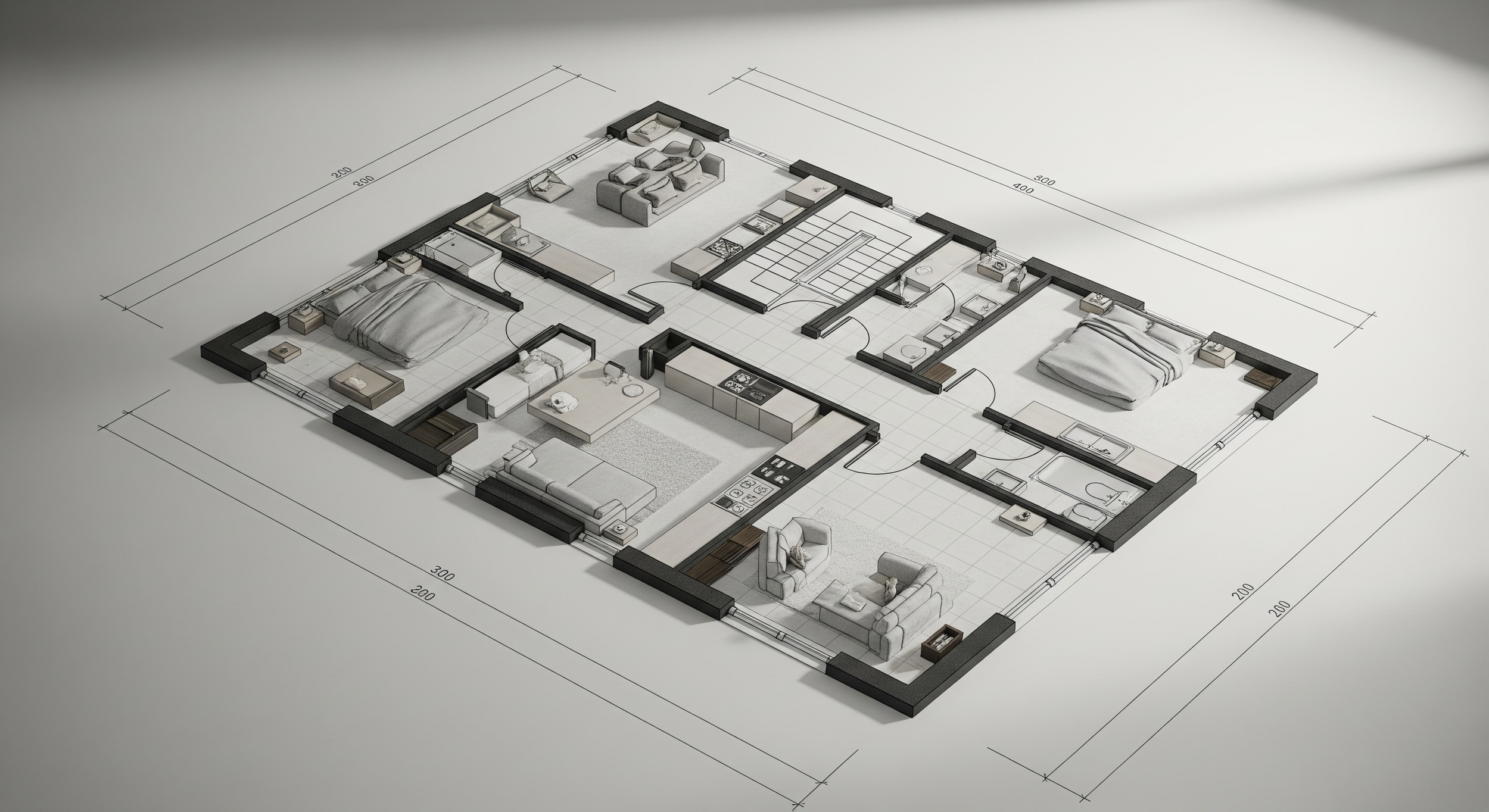
Schematic Floor Plans
Point Clouds (E57/RCS)
Revit models and CAD as-builts
Pre-cover Capture Sets Tagged by Location
Dated Progress Reports

Where it Earns Its Keep:
PRE-COVER AND PROGRESS documentation for builders
Existing-conditions capture for ARCHITECTS & ENGINEERS
Facility records for OWNERS AND MANAGERS
Conversion evaluation for RETAIL AND FRANCHISE OPERATORS
What it Costs:
Standard, accessible Matterport capture often begins around $0.10 per square foot, with a $500 project minimum. Occupied, complex, phased, or deliverable-intensive projects are quoted to scope. After the scope is clear, we typically issue a firm proposal within two business days.

Tell us what the documentation needs to do.
We'll recommend the method and price it.